

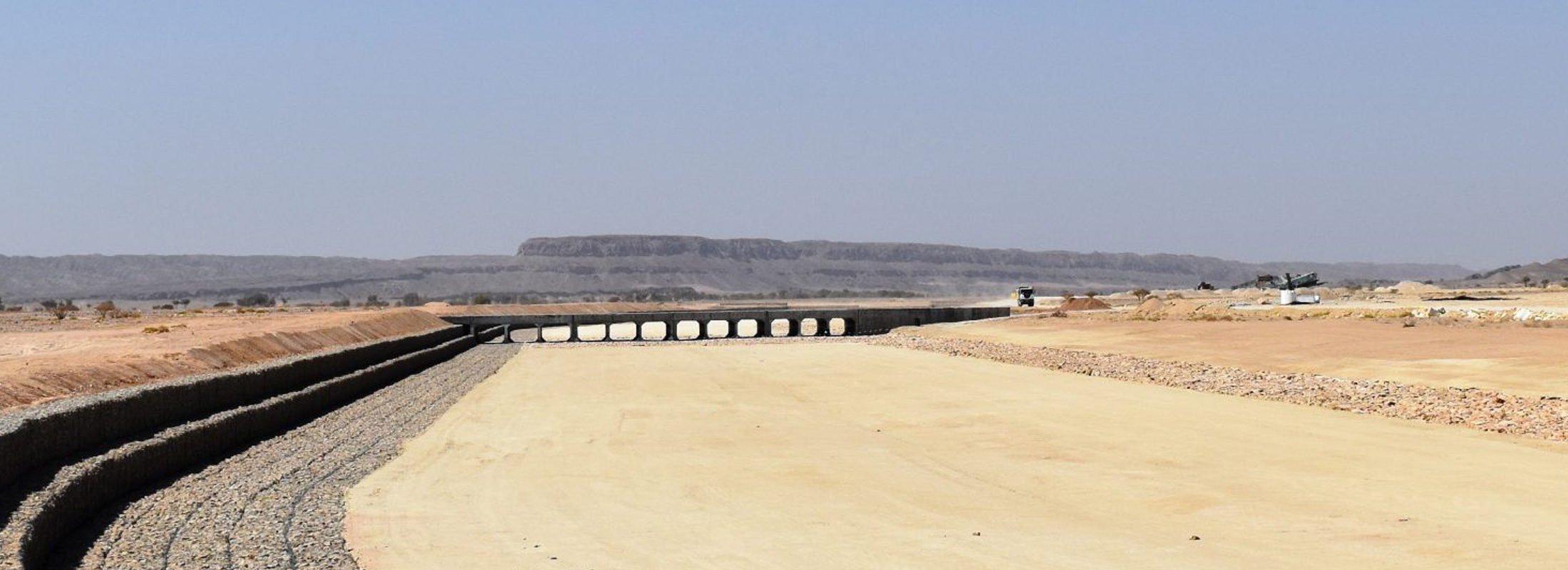
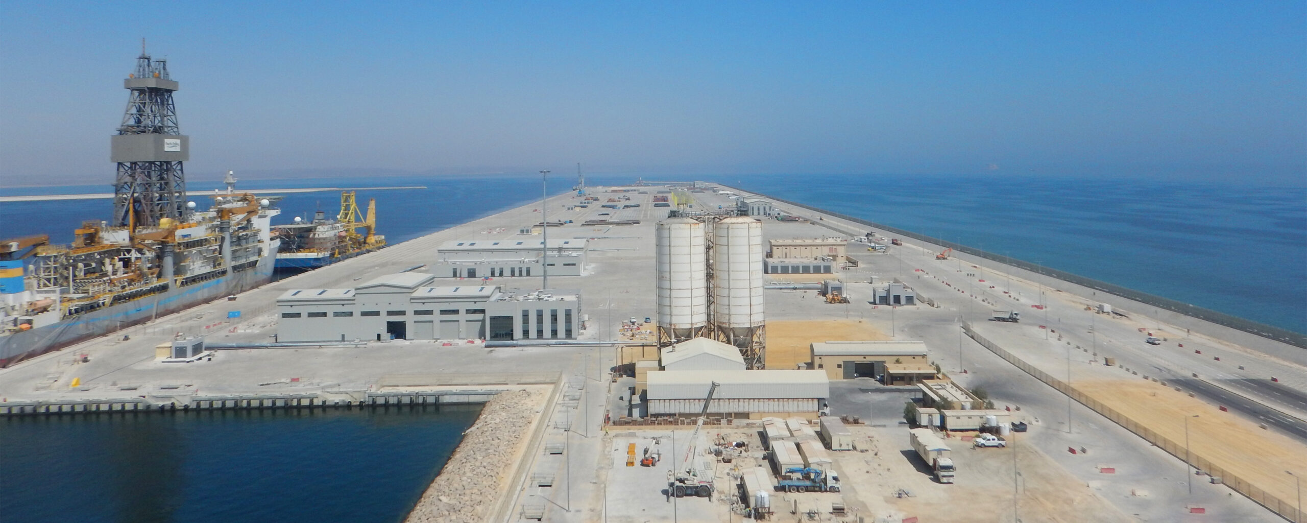
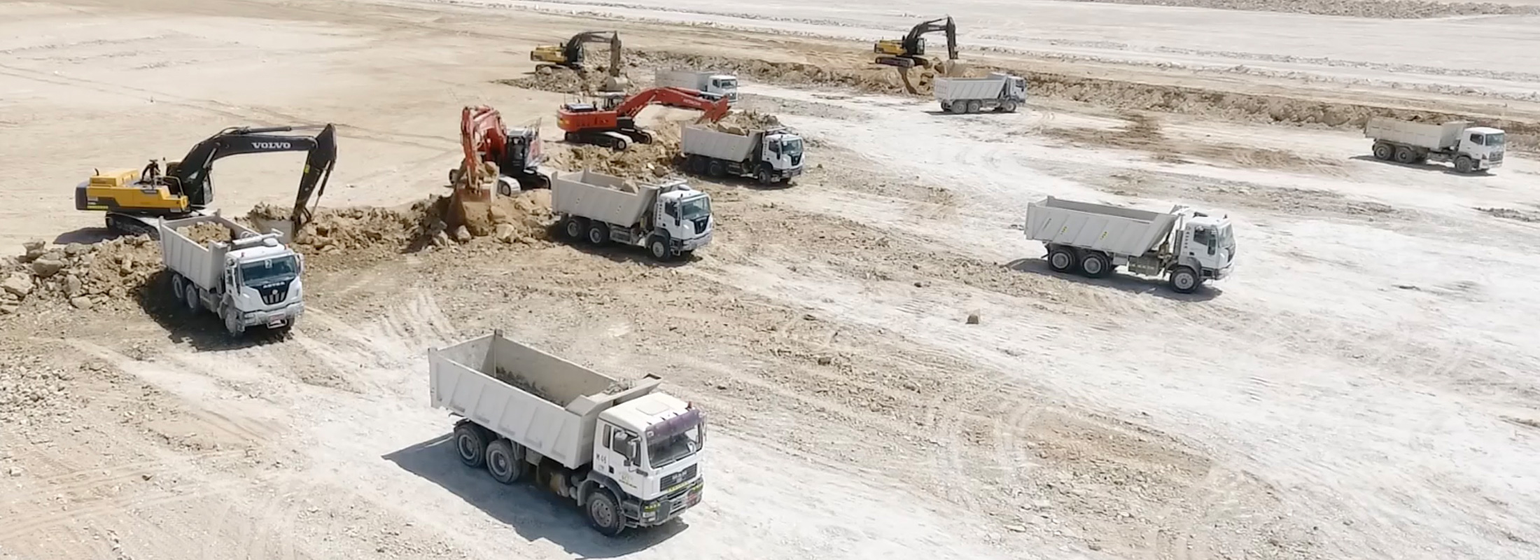
Construction of Roads, Infrastructure & Buildings Commercial Terminal & Operational Zone Areas, at The Port Of Duqm
The brief summary of the project:
The dam is rock filled, with a central vertical asphalt-concrete diaphragm as a watertight element, which is 60 cm wide, and extended to 120 cm in the lowest 80 cm of the height above the connection to the grouting gallery.
The dam is 79.65 m high, supporting bodies, with slopes of 1:1.8, are constructed of rock fill – gabbro, having two transition zones toward the diaphragm (upstream and downstream) ,and the upstream cofferdam, used for protection of the construction pit.
Project Details
| Project Type | Design – Build |
| Project Location | Gevgelia, MACEDONIA |
| Owner | Ministry of Agriculture Forestry and Rural Affairs |
| Project Start | 27 October 2015 |
| Project End | Ongoing |


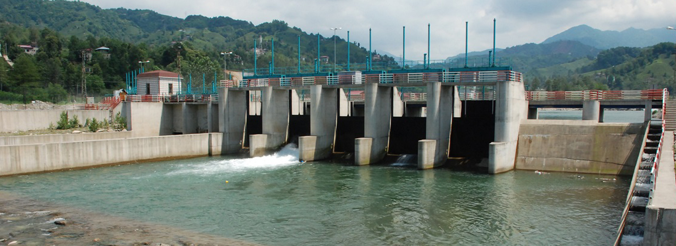
The construction site is located in the south of the Republic Macedonia, at a 20 km distance west from the town of Gevgelija, at lower slopes of the Kozuf Mountain, on the Konska River. Activities will be carried out at altitudes between 480 masl and 550 masl.
By construction of the dam Konsko, a reservoir will be formed with a volume of 20*106m3, an area of 10, 8 ha and a length of 2.5km. The future reservoir will have a purpose of supplying the irrigation needs for a part of the Gevgelija field, with an area of 7436 ha.
The project includes the below structures;
- A rock fill dam Konsko,
The gallery location is in the middle part of the dam body, shifted downstream for 1,85m from the dam axis and asphalt diaphragm. From the bottom, on elevation of 475.47 masl, to elevation of 499.33 masl, the third type was designed, with adequate dimensions and a length of 128.36 m.
From elevation of 499,33 masl to elevation of 522,63 masl, the second type of control gallery was designed, with a total length of 98.31m.
From elevation of 522.63 to elevations 536.5 on the left bank and 531.5 on the right bank, the first type of gallery is envisaged, with the lowest е loading and total length of 75.68 m.
The diversion tunnel total length is Lt≈314,00m with a longitudinal slope of 2,18% and the beginning section is straight, in a length of ≈58m, and further section is a curvature with a radius of R=60m and a length of ≈75m. At the end of the curvature, there is concrete plug with a length of 9,0m. To the end section (up to the outlet gate house), the tunnel is a straight section in a length of ≈172m.
The coffer dam is a rock fill dam, with the maximum height from the river bed of Н=10m, with a clay screen, as an upstream water tight body. The cofferdam crest is with a width of B=5m and slopes of 1:3 on the upstream side and 1:1, 5 on the downstream side.


